Article updated on 1/19/2025 to include additional footage from the RDU Observatory Park.
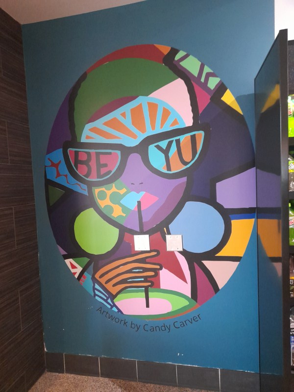
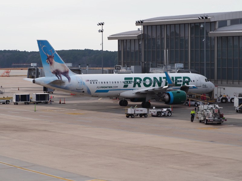
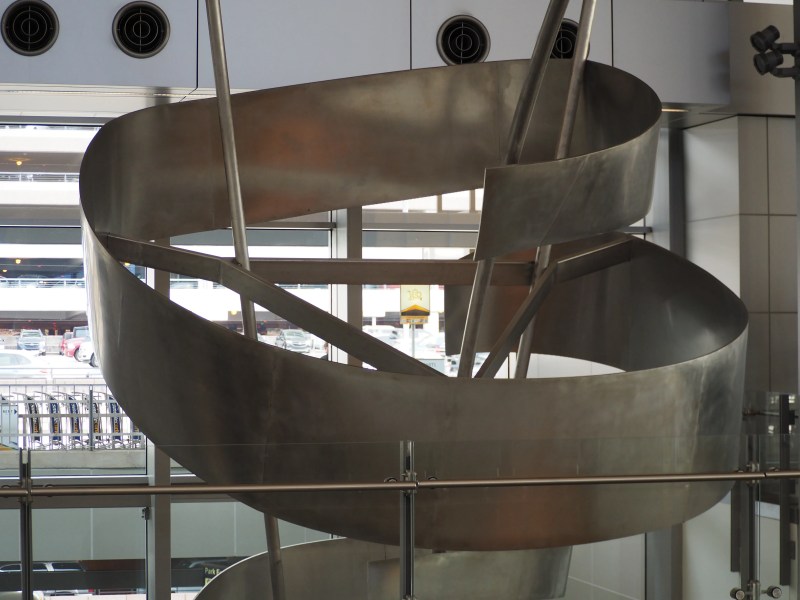
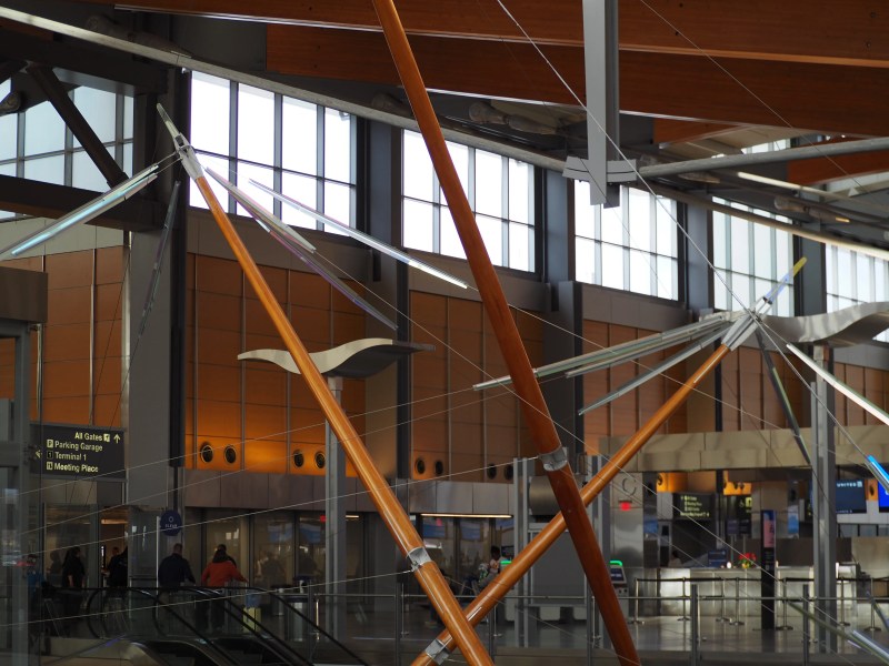
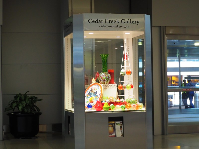
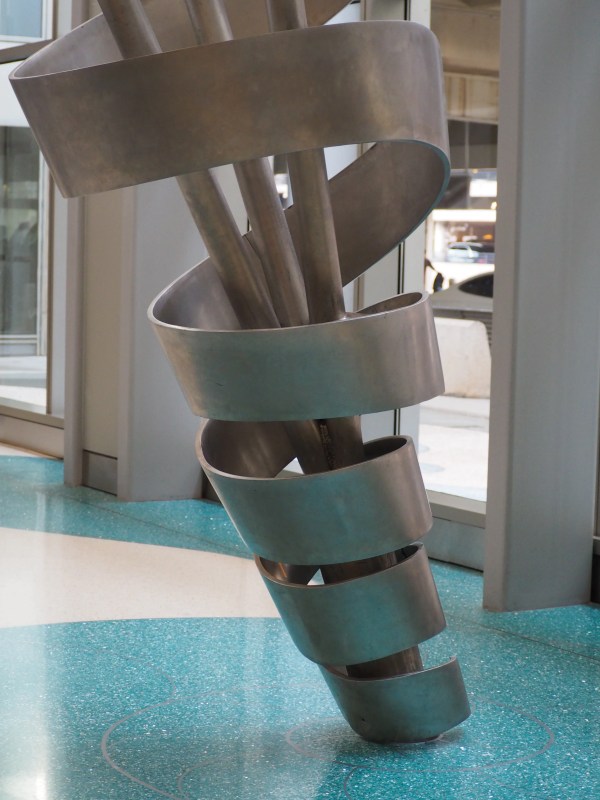
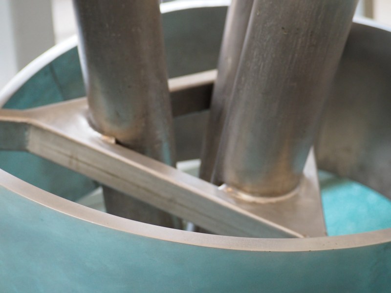
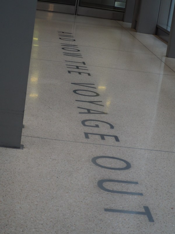
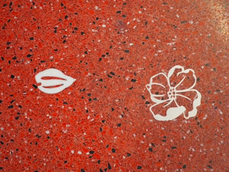
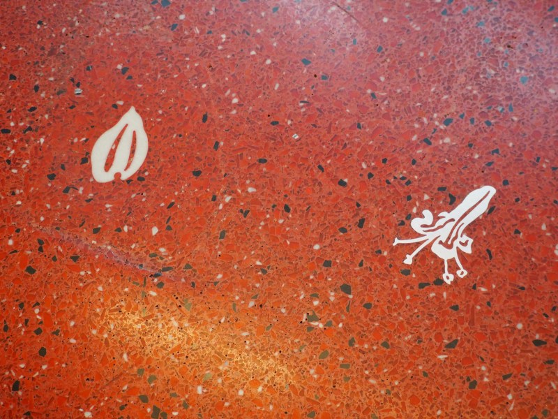
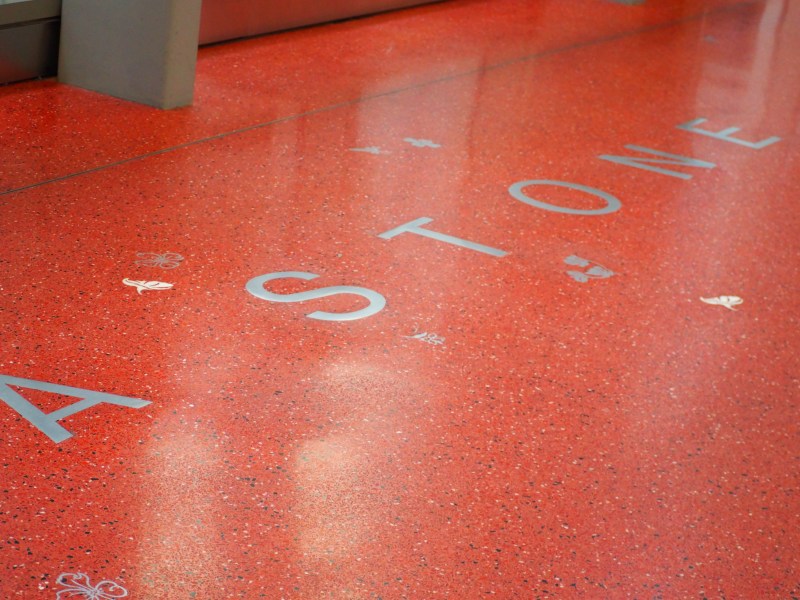
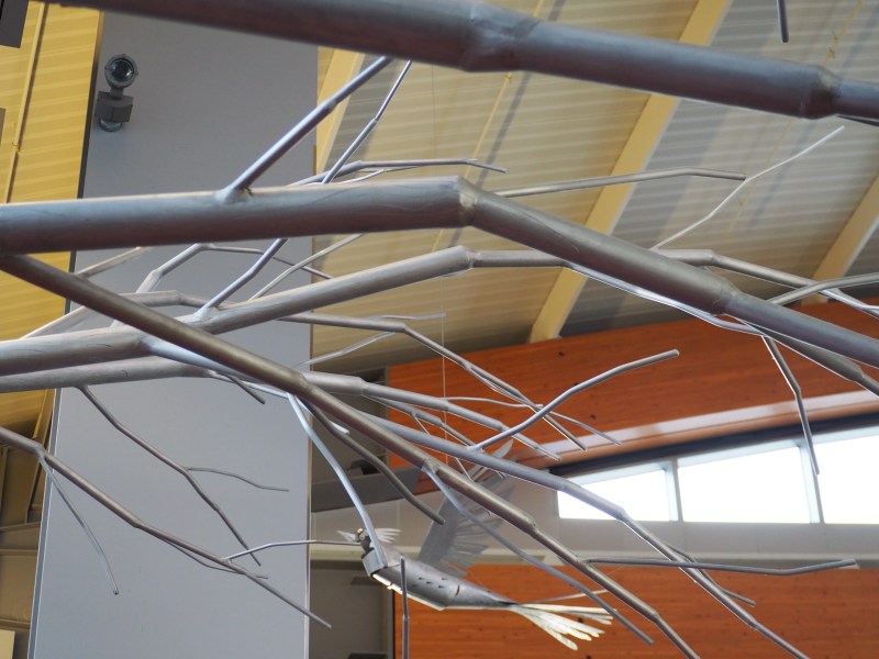
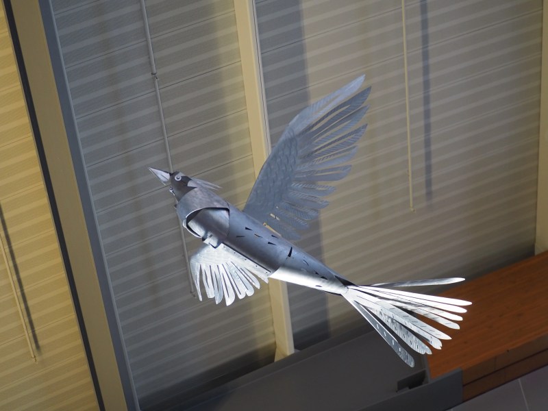
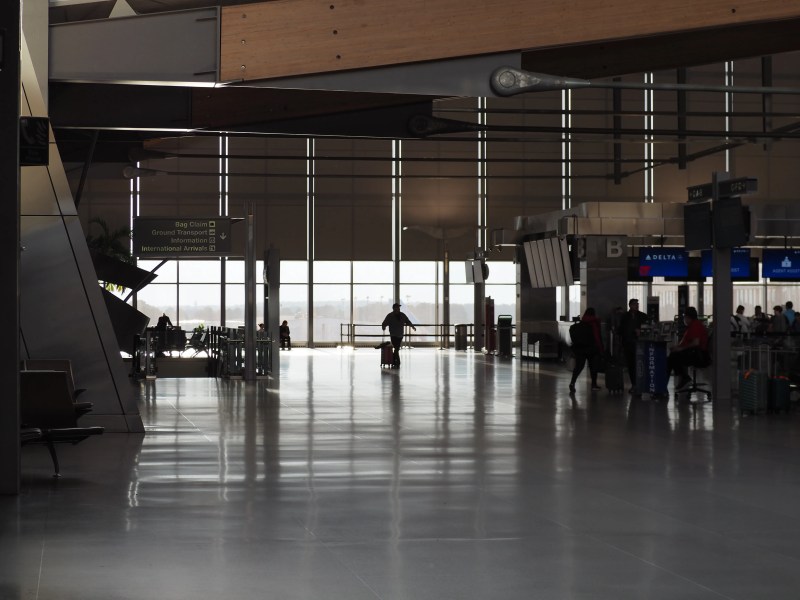
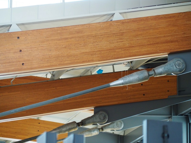
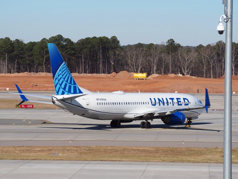
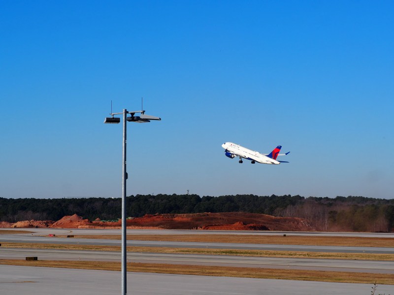
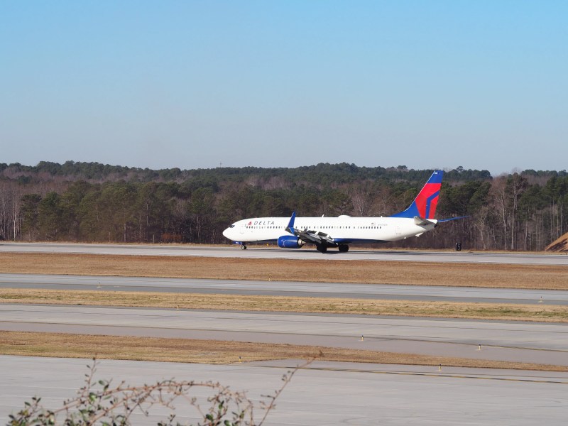
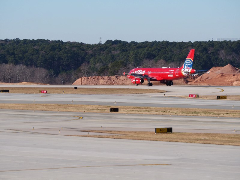
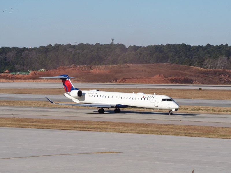
With some free time at the airport while awaiting a relatives arrival, I took some photos of planes and the sculpture, and easter eggs in the airport entrance and waiting areas.
I had a bad experience with the parking area and got lost, then got charged extra. I was there for about an hour and a half, but I was charged for 3 hours.
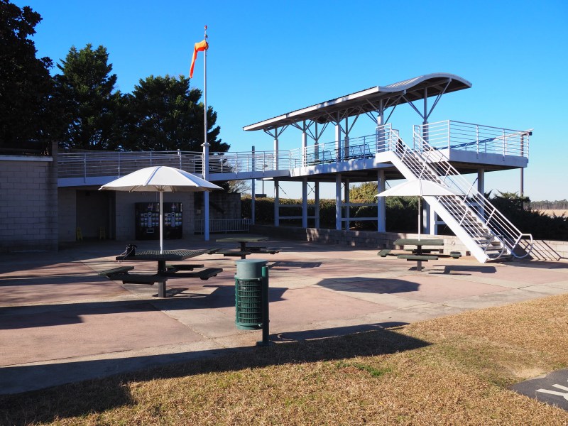
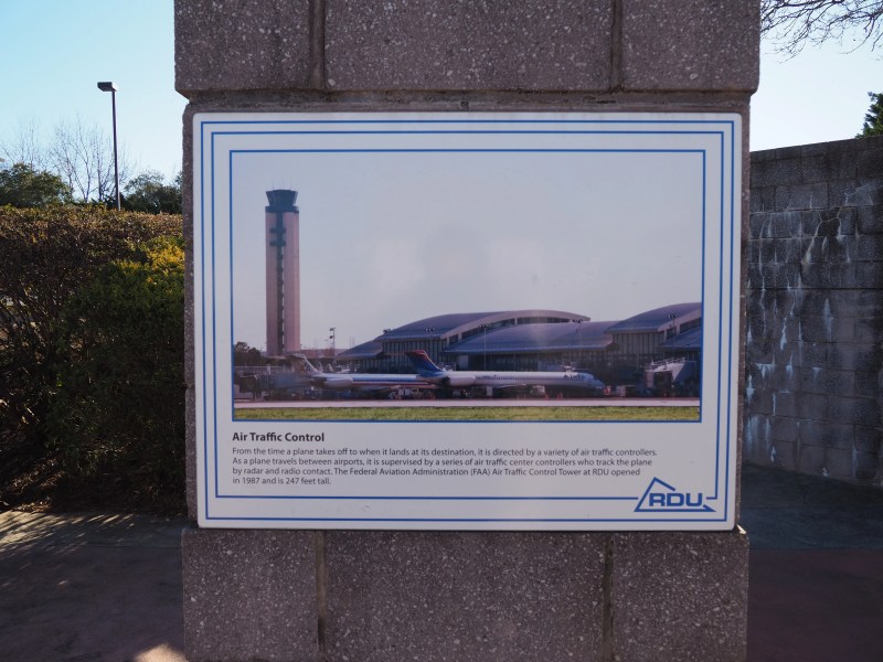
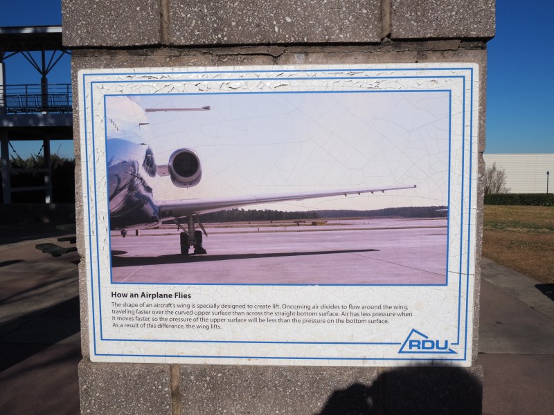
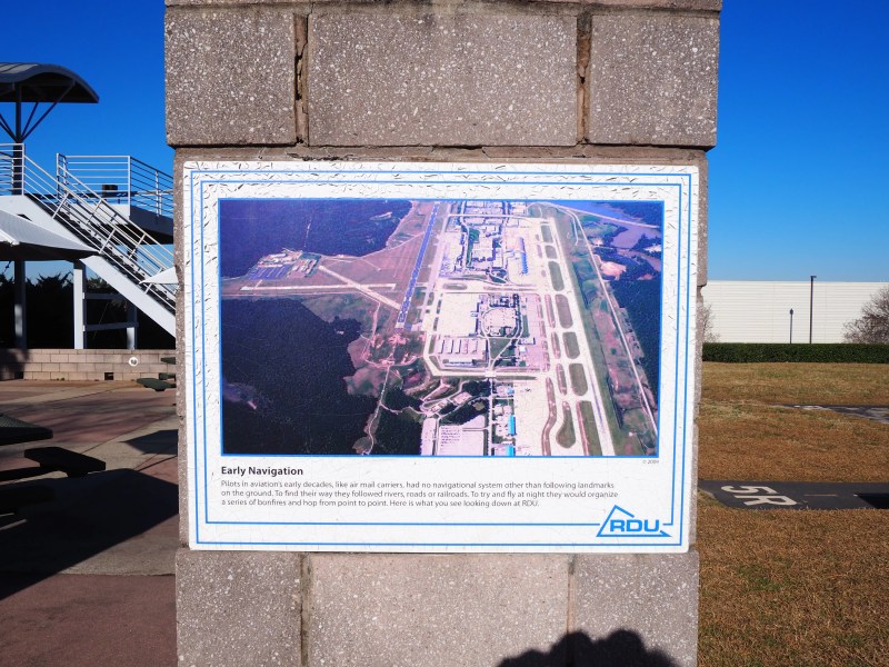
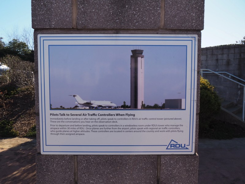
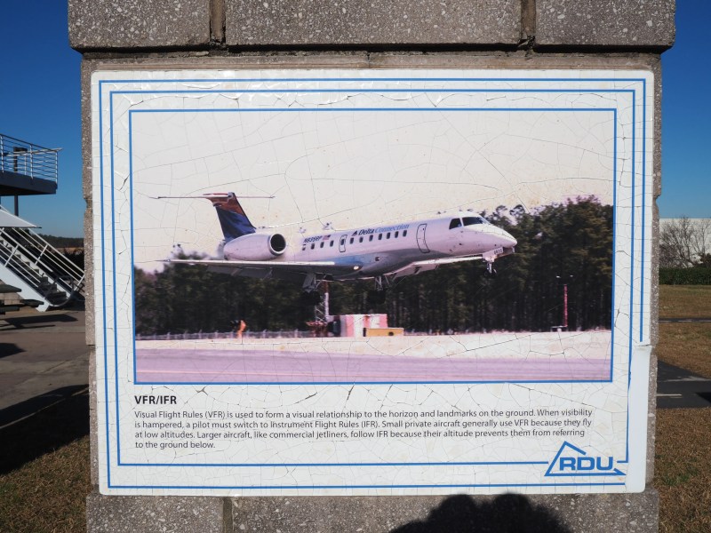
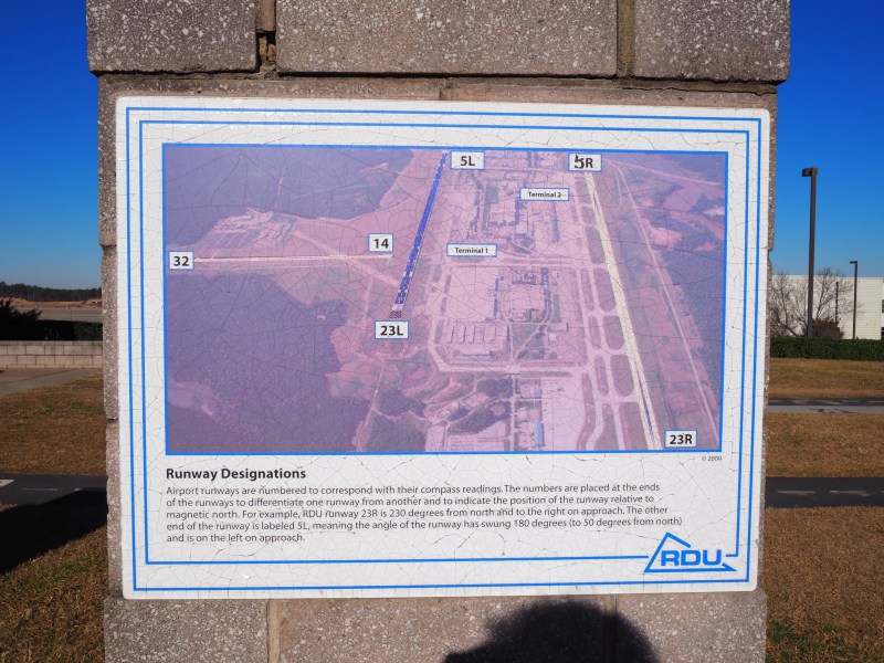
RDU Observatory Park
On my return to the airport to drop off my relative, I got to take some much clearer shots of the planes at Terminal 2.
This is such a large city that It will take some time to write and photograph it, so this post will likely grow over time.
North Raleigh
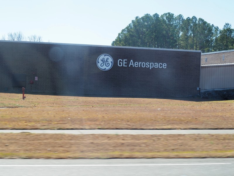
My regular commute to source goods for my eBay shop takes me to North Raleigh every Wednesday. I shop at the Treasure Hunt Liquidators Bin Megastore on Capital Blvd, on their dollar day mostly.
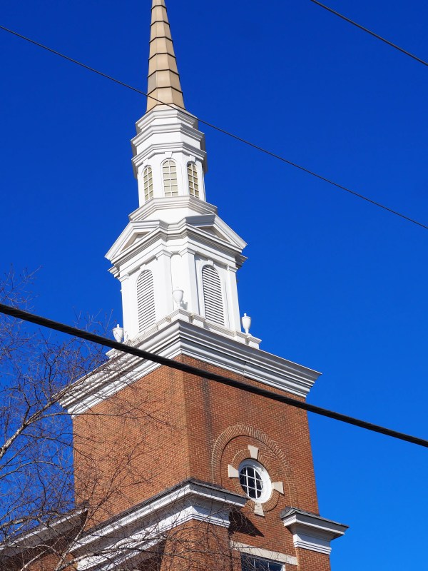
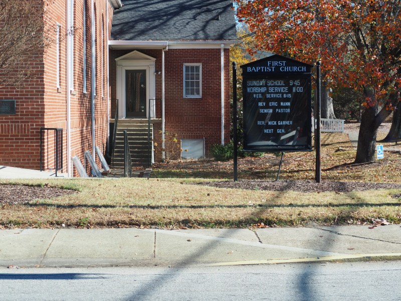
My route takes me Southbound on US-401 and then I turn at Cavalry Drive, just past the Baptist church on the corner of North New Hope Road and Louisburg Road.
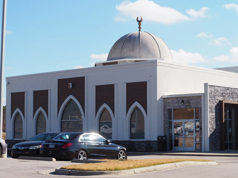
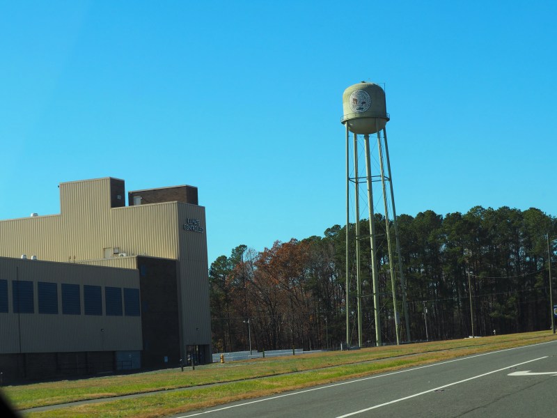
Further up the road, northbound, there is a Mosque in a residential development. There is some construction taking place in front, but I don’t know what’s going to be built.
Central Raleigh
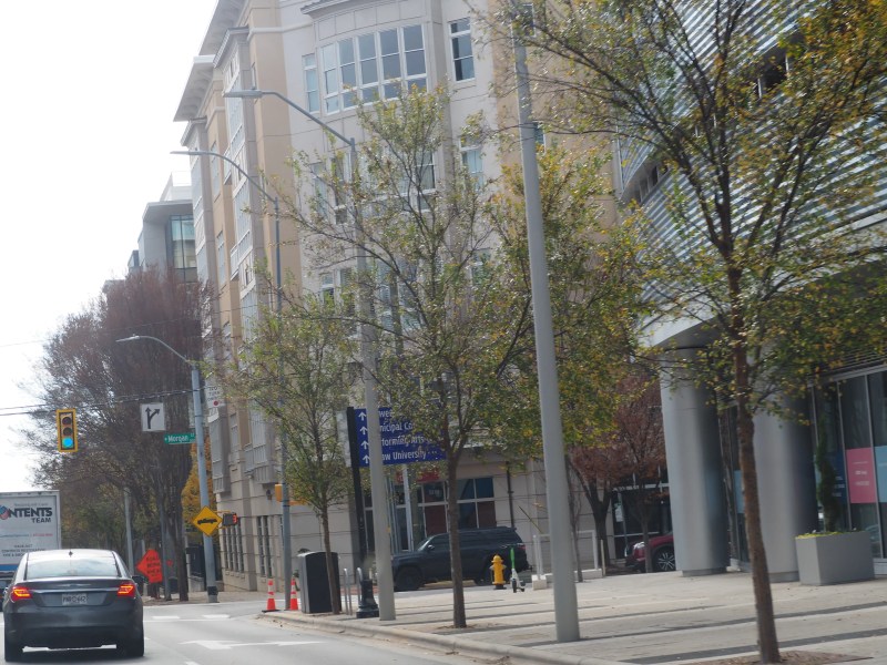
Traveling south along Wade Avenue the traffic pattern begins to shift. My fellow drivers appear more frantic and aggressive in their movements. This is the city.
The portion of Raleigh I travelled through was just a slice of the full concrete and steel beam space. Afterwards, the skyscraper forest gives way to single story shops and sit down restaurant’s.
I came across Wilton while checking prices on Zillow for houses and land. When I checked the map, Wilton didn’t show up right away, so I had to futz with the zoom to get the name to show.
About Wilton
Its an unincorporated town with a few landmarks letting you know where you are.
The local Wilton Elementary and Wilton Grill bear the towns name.
Wilton is located in Granville county which lies along the state border with VA.
Wilton High School was originally built in 1924 and remained in operation until 1962 when the larger Granville High School was built to serve the county. The high school was then converted to an elementary and has been in operation since.
There is a local Wilton EMS / Granville EMS Station 2 is in town just down the road from the elementary school.
Photo update for Wilton EMS / Granville EMS Station 2 By Hillel Dorel (Local Guide Lvl 7)
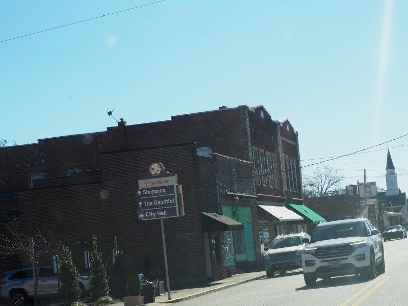
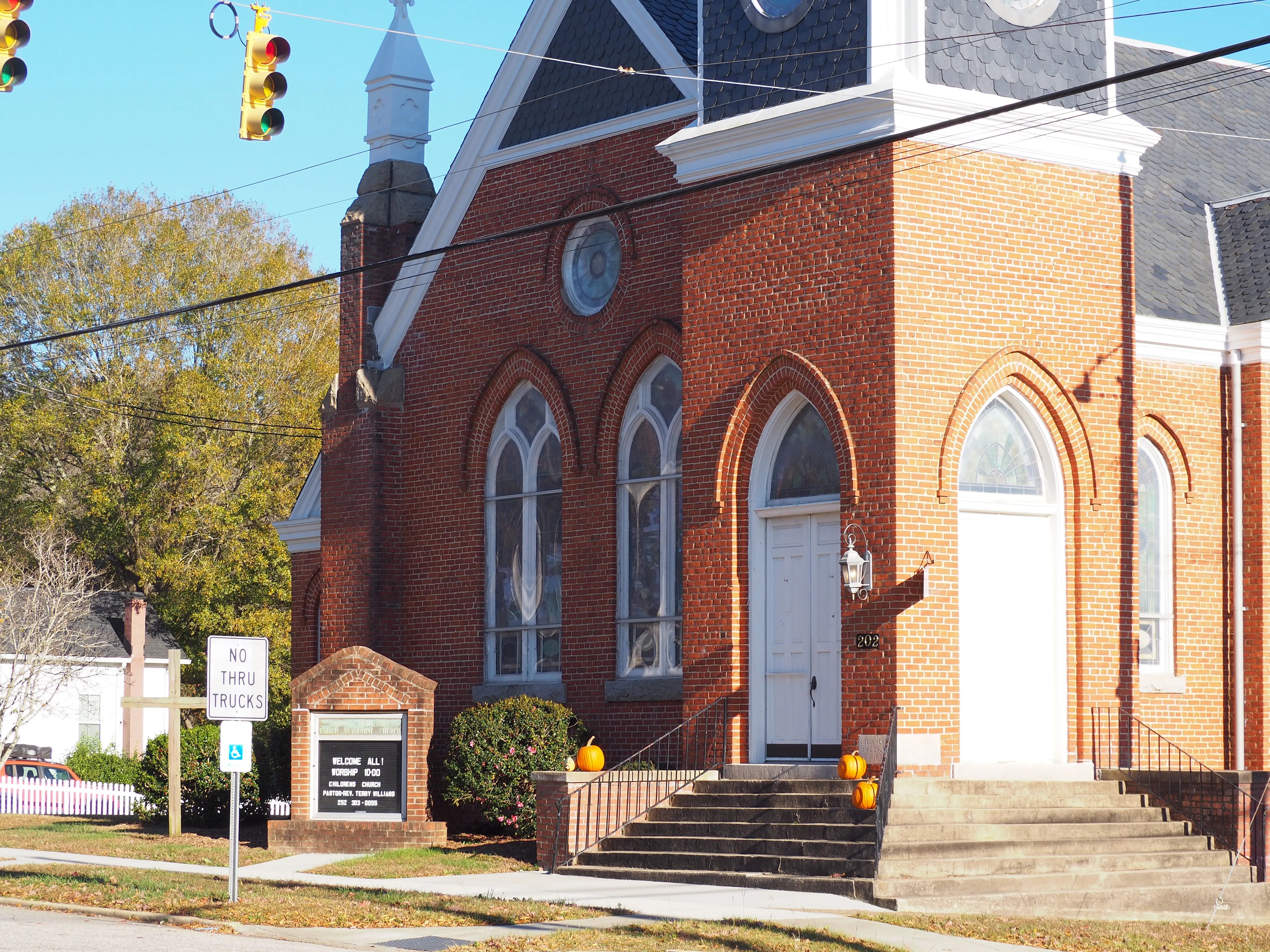
After I decided on a trip to Wilton, I saw that I would first pass through Franklinton and end near Creedmoor, so I incorporated those two stops into my itinerary.
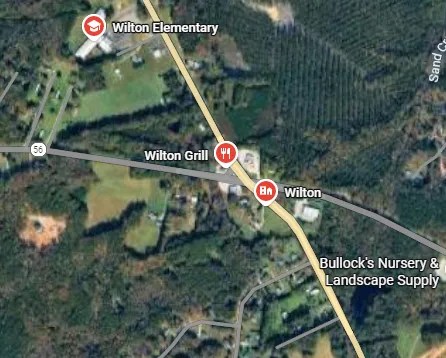
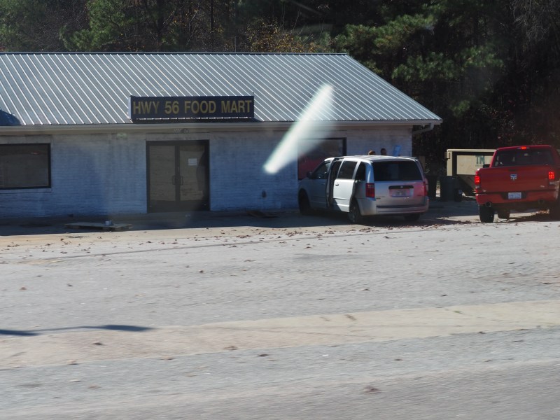
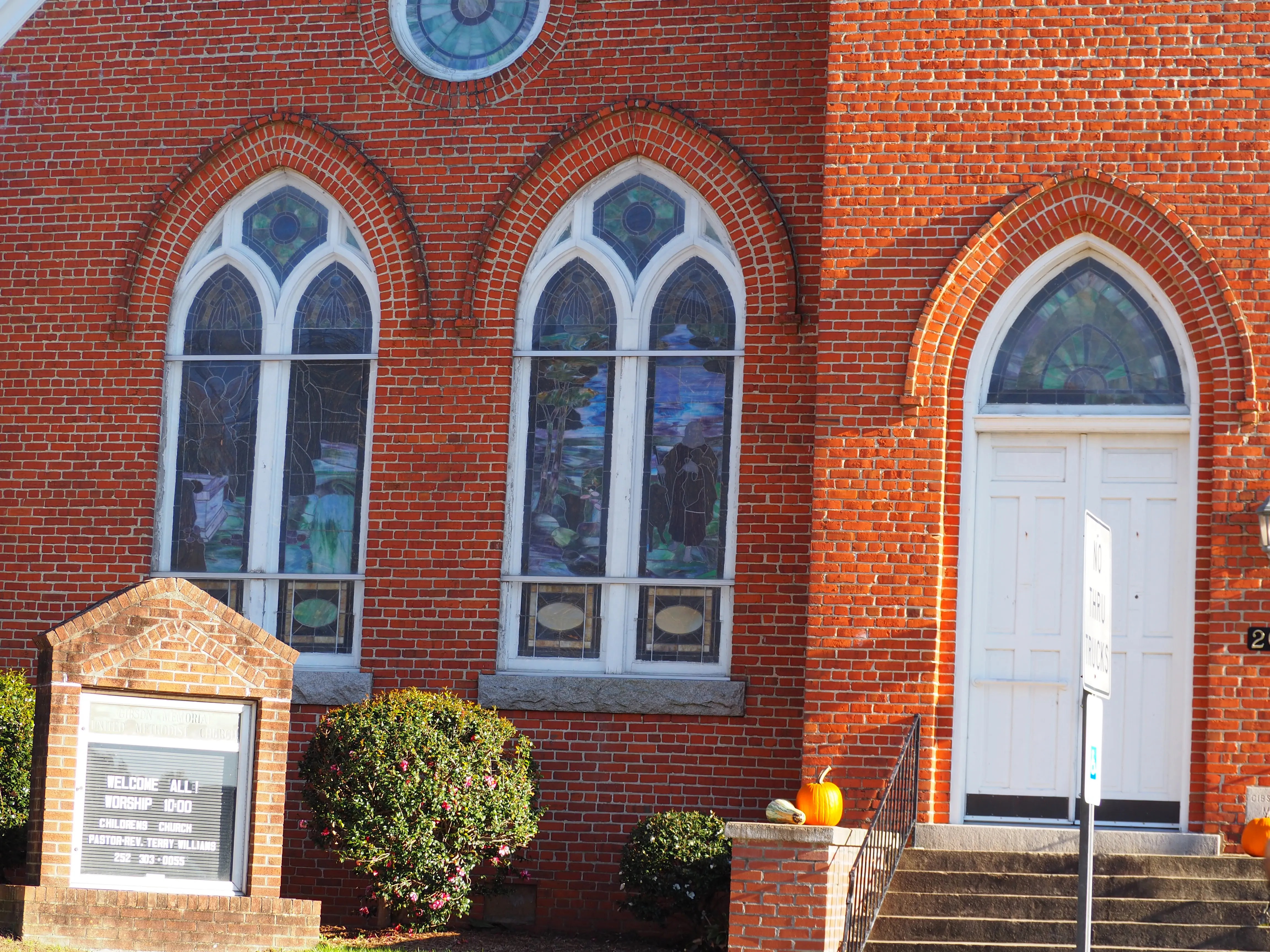
The center of town lies at the intersection of NC-56 and NC-96.
Sitting on the north east corner is a 76 branded fuel station, and the Wilton Grill sits at the northwest corner.
On the south-west side of the crossing you’ll find Adriano’s Pizzeria, and across to the east is a Dollar General store.
76 Fuel Center in Wilton NC76 Fuel Center in Wilton NCThe Wilton GrillAdriano’s Pizzeria
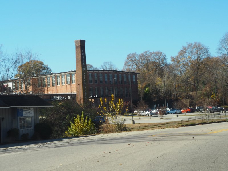
Franklinton is a town in Franklin County, North Carolina, United States. The population was 2,456 at the 2020 census.
I passed through Franklinton on my way to Wilton and Creedmoor. I took Cedar Creek road, northward, and turned at Lane Store Road.
I hadn’t been down Cedar Creek since I worked at Kerr Drug back in 08′. There was so much development along the way that I hardly recognized the area.
Drive Thru
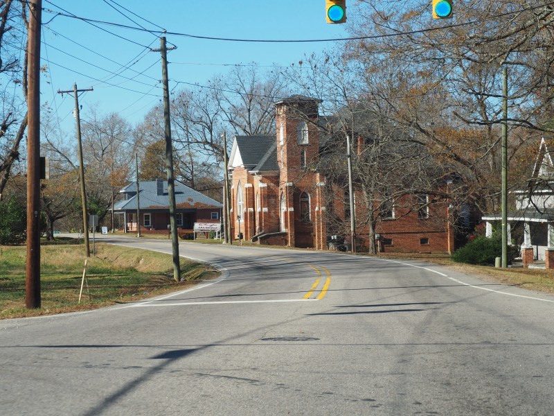
I plan on going back to Franklinton for a proper walk through town. I’d like to get some better shots of local church architecture and the different cuisine options folks have when visiting.
There are several small local restaurants in town covering a significant number of cuisines. I saw Cajun, Chinese, Japanese, Mexican, American, and Italian.
In Town
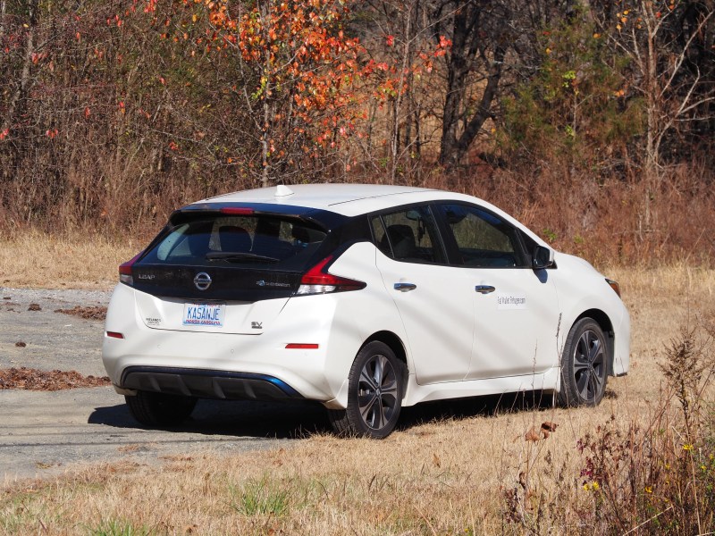
I realized I had been here previously last year, just after I got my Nissan LEAF. I had been driving around to potential job locations trying to get a feel for how long the drive would be and if that was something I would be up for.
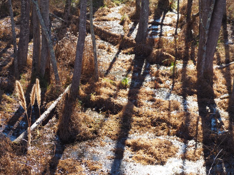
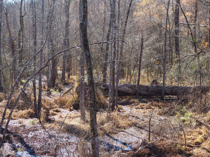
City Trail Wetlands
I found a spot to park and walked along the City Trail for a short distance. Despite all the traffic, you could still hear the birds and insects that call the marsh their home.
Approach and Exit
I took the 50 South exit and headed down to Falls Lake State Park and one of the boat launch areas.
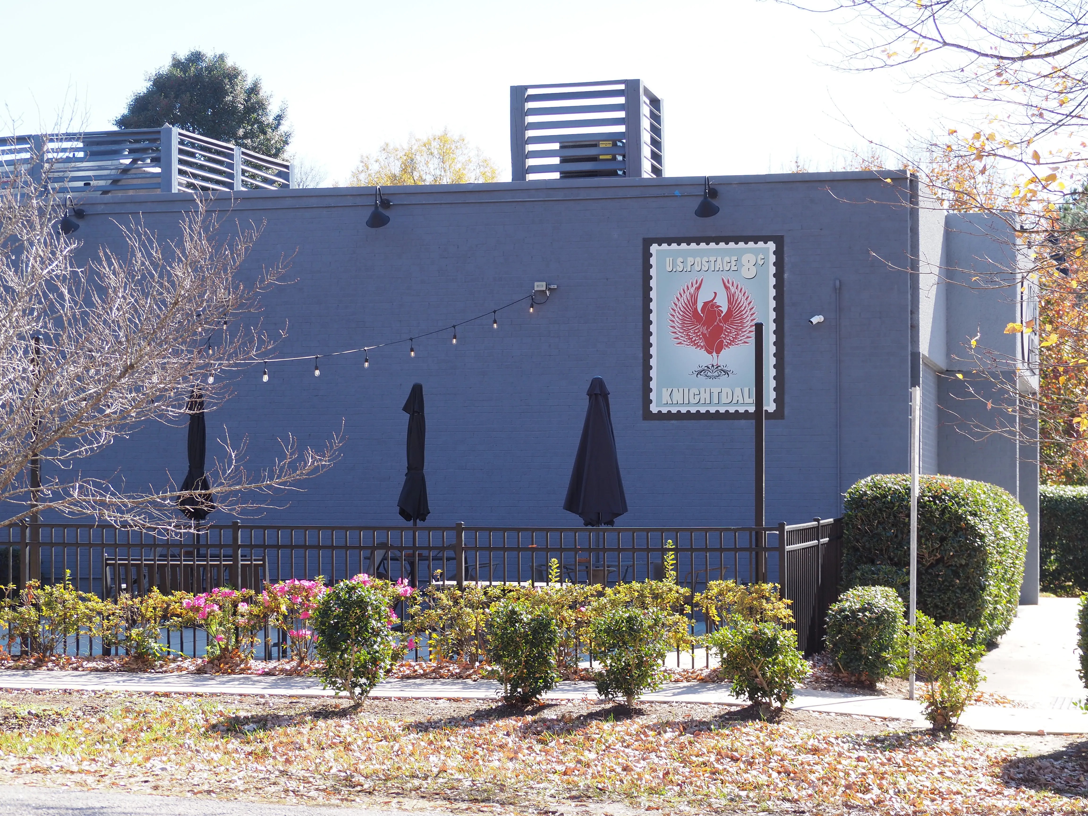
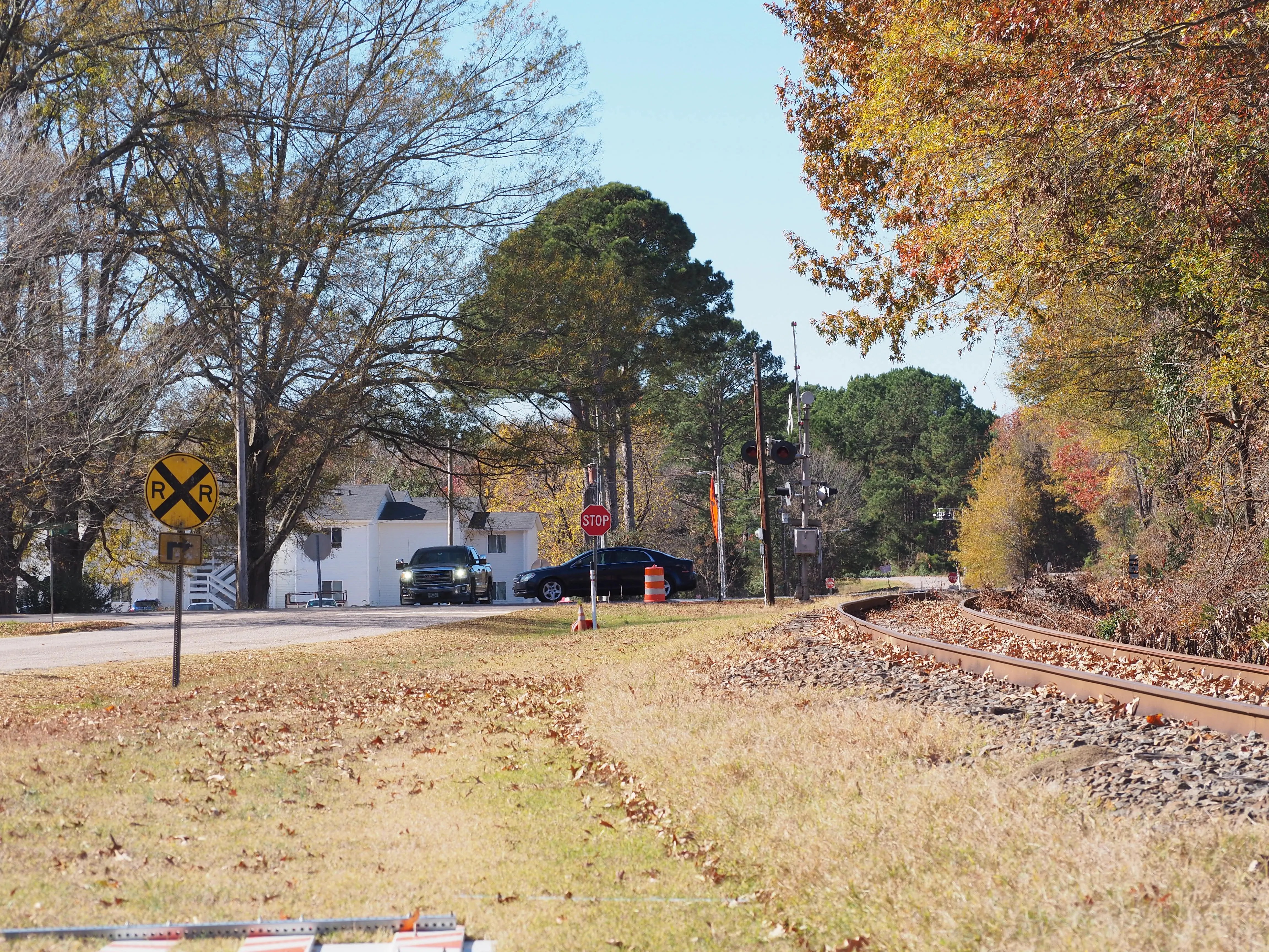
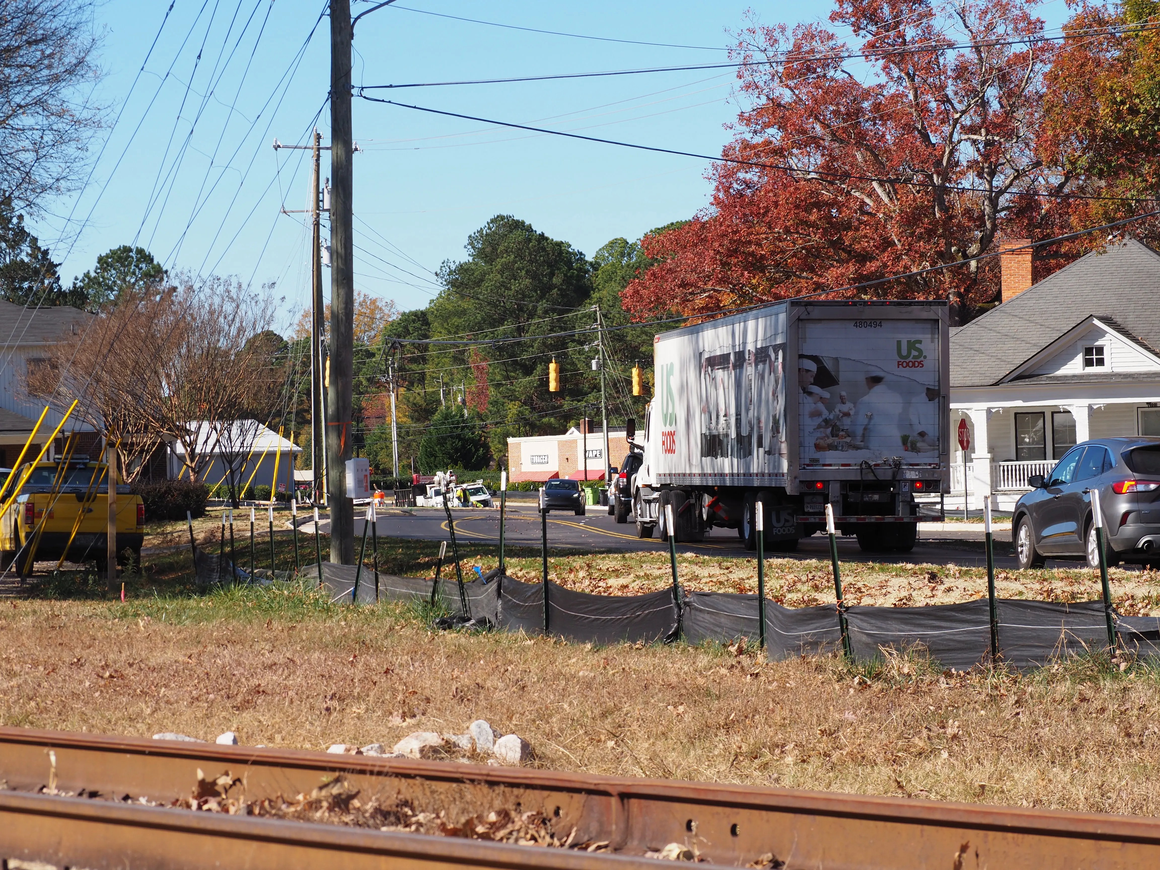
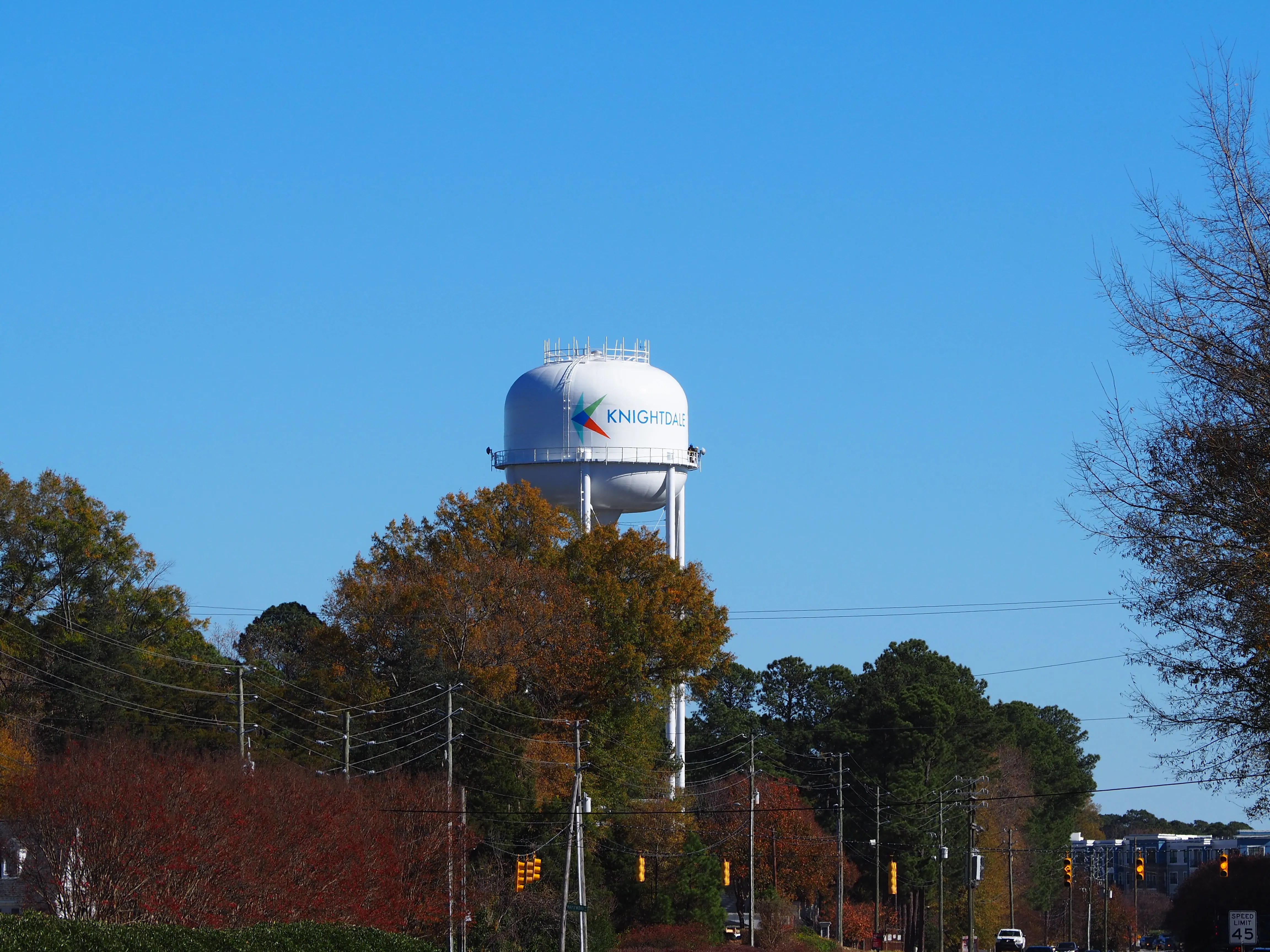
Knightdale is a town in Wake County, North Carolina. As of the 2020 census, Knightdale has a population of 19,435.
The story of Knightdale starts with exploration and discovery. The community, which goes beyond today’s boundaries, has a history that dates back to the colonial era in America (Read More).
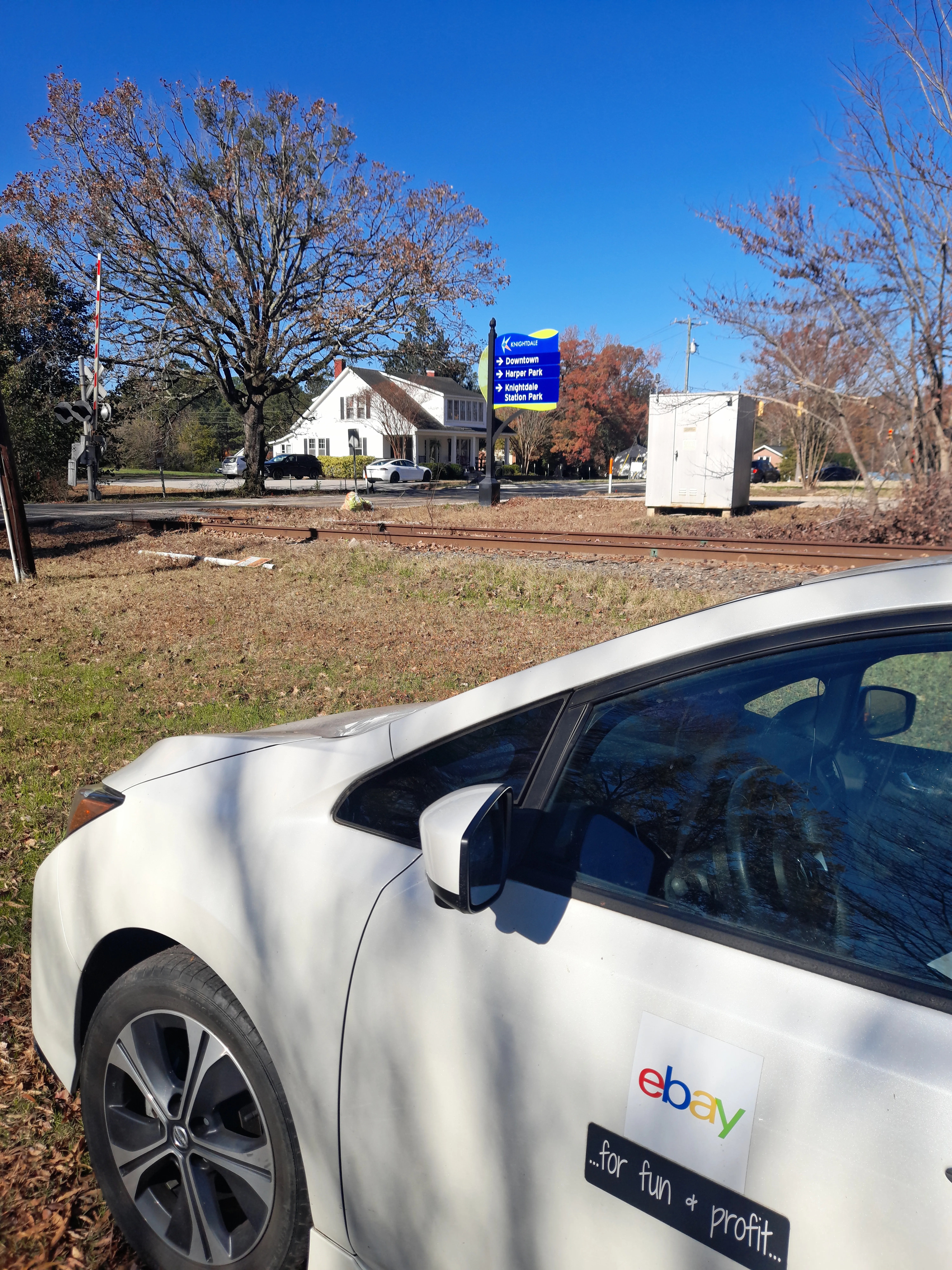
Situated about 20 miles from my home to the north, the drive to Knightdale was pleasant from my perspective, maybe not so much for the cars stuck behind me. You see, I’m something of a speed limit zealot.
With Fall in full swing there was plenty to see. While the oaks were already bare, there were several other breeds including the odd maple that were full ablaze in orange and red.
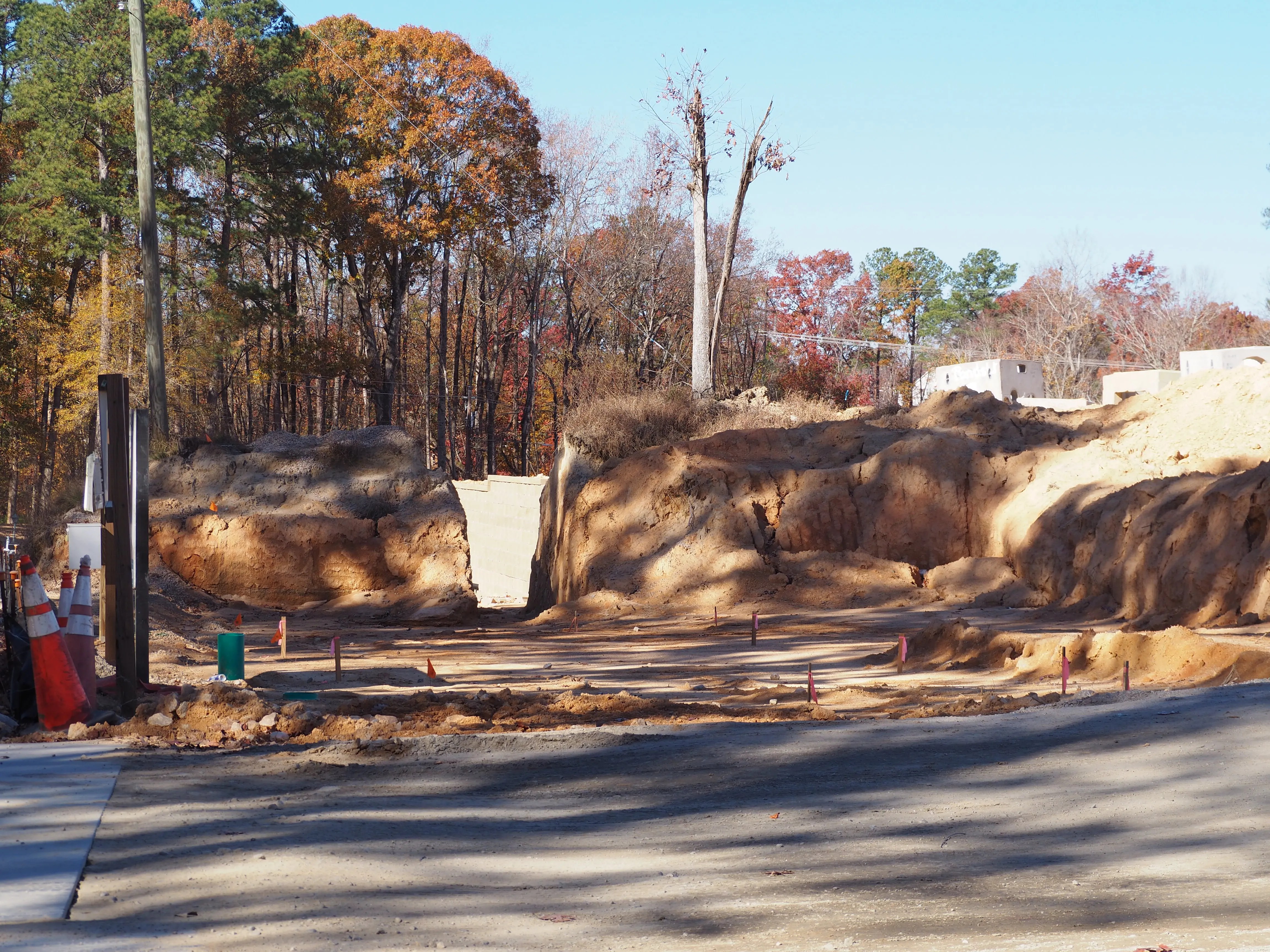
The road conditions, however, were not great. More than once I had to navigate around busted up pavement edges and potholes.
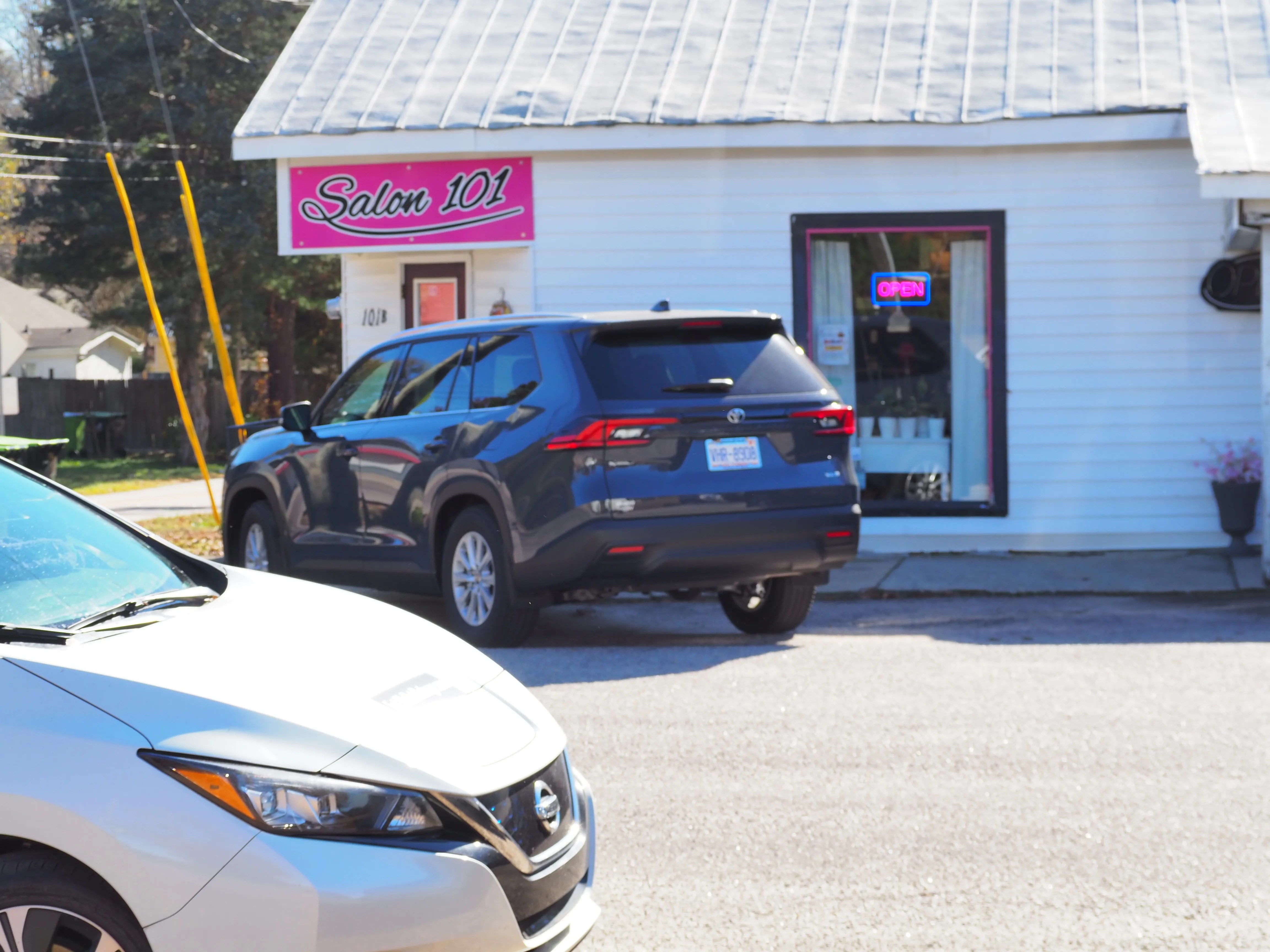
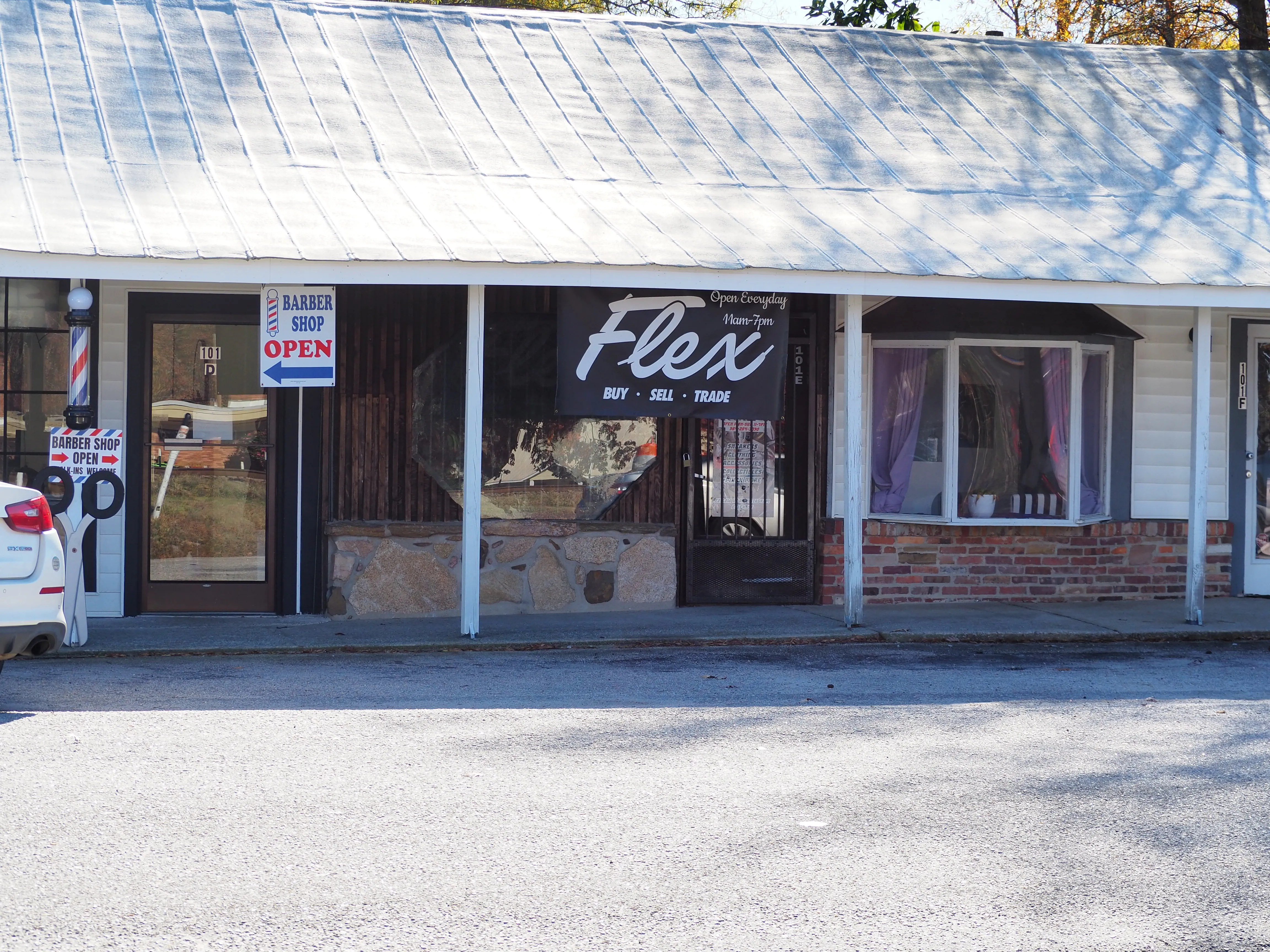
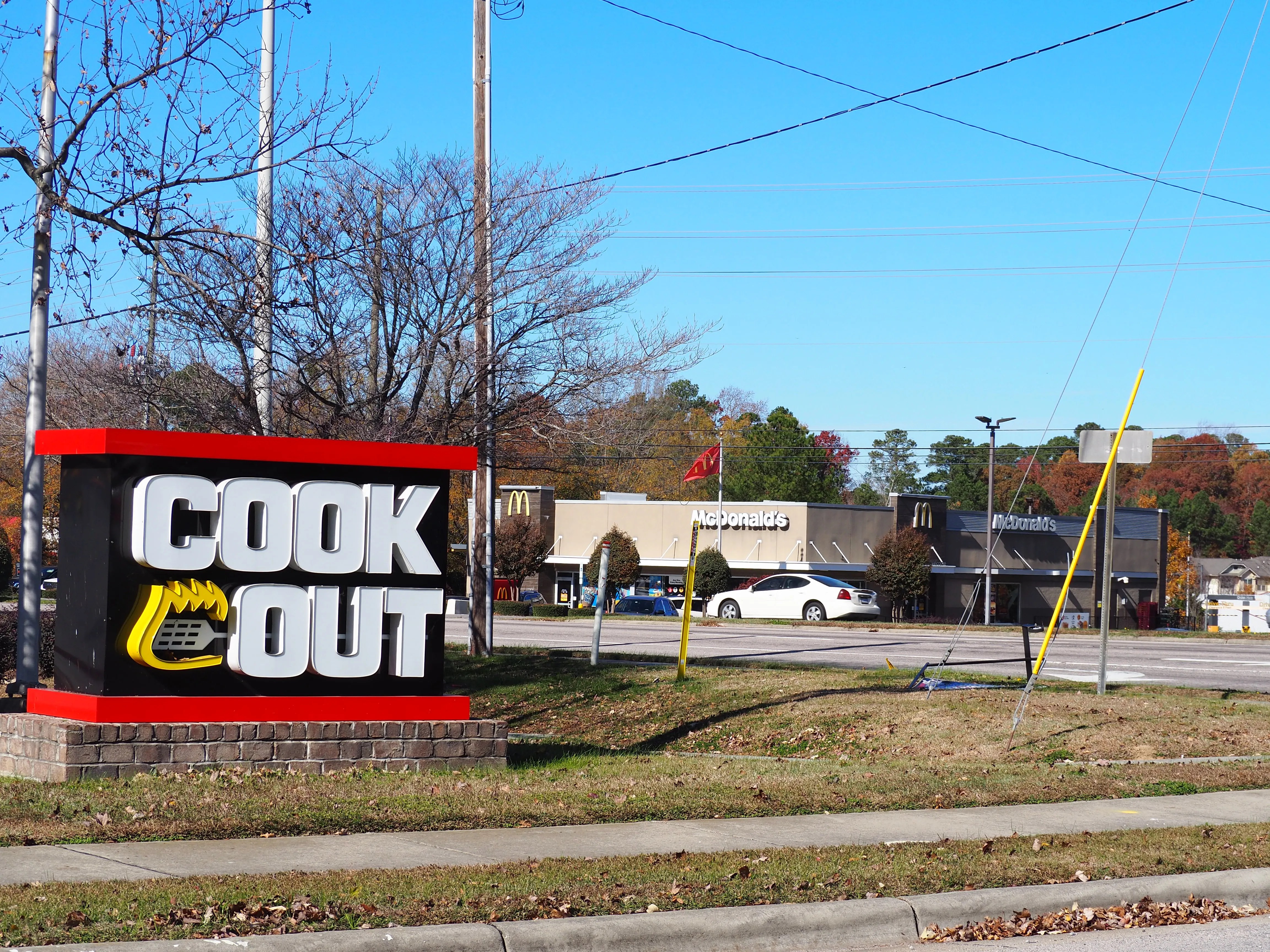
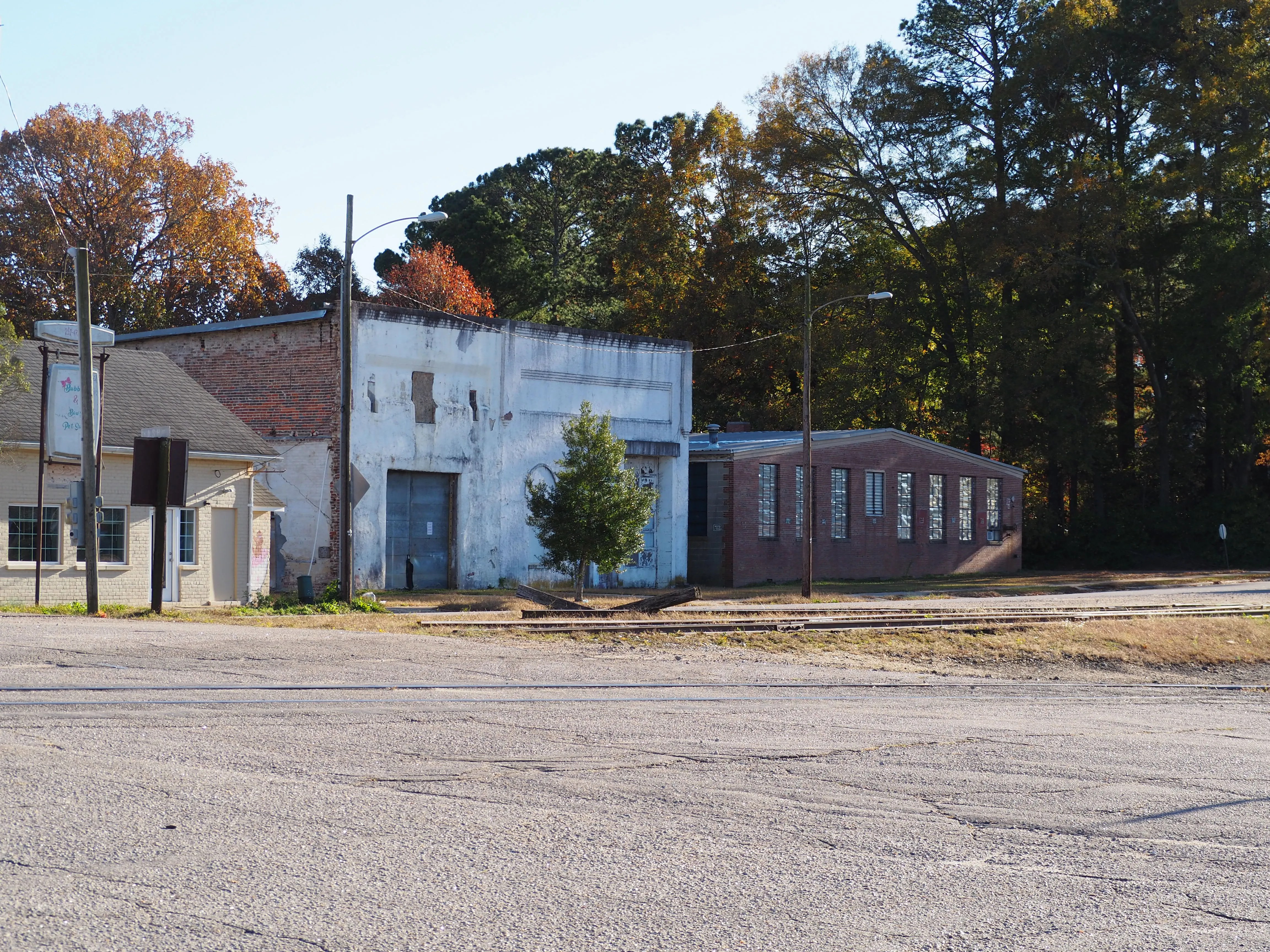
In town, train tracks ran down the center and roads ran alongside with crossings spread far apart. I initially drove around and snapped shots of local shops, then I stopped by the local Goodwill and browsed their stock.
One of my personal rules for these trips is that I don’t bring any money. I’m just their to observe and record my surroundings.
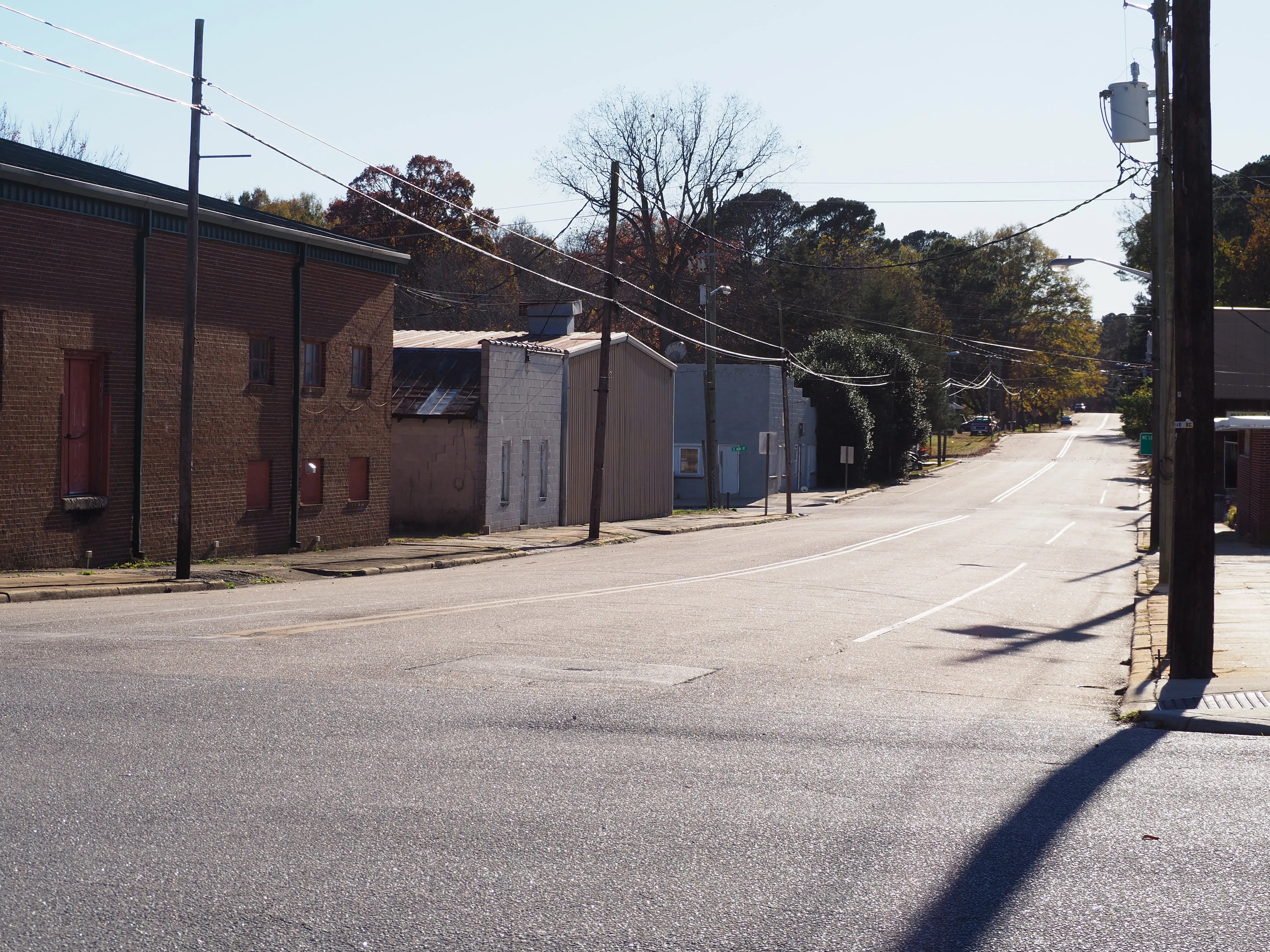
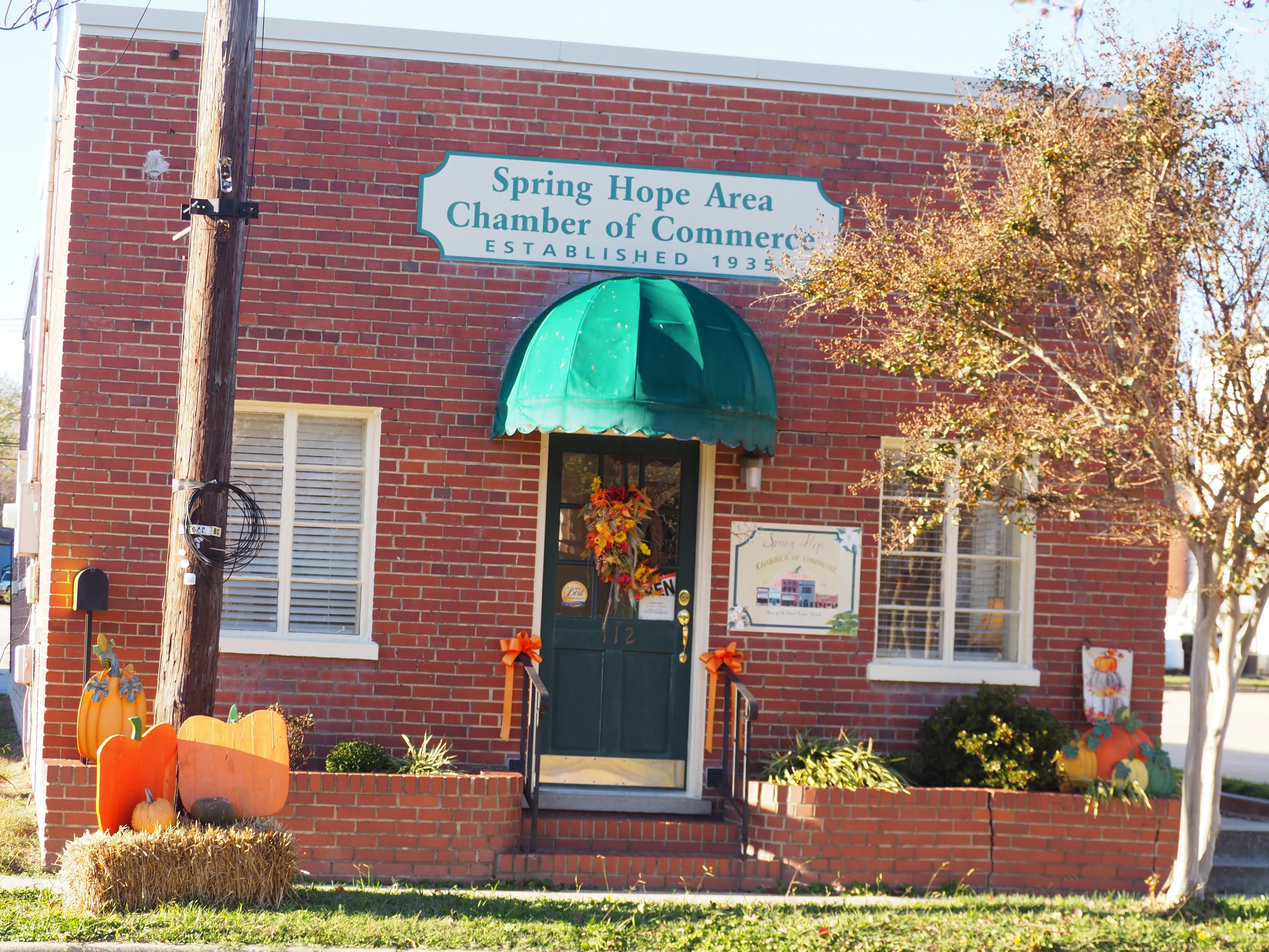
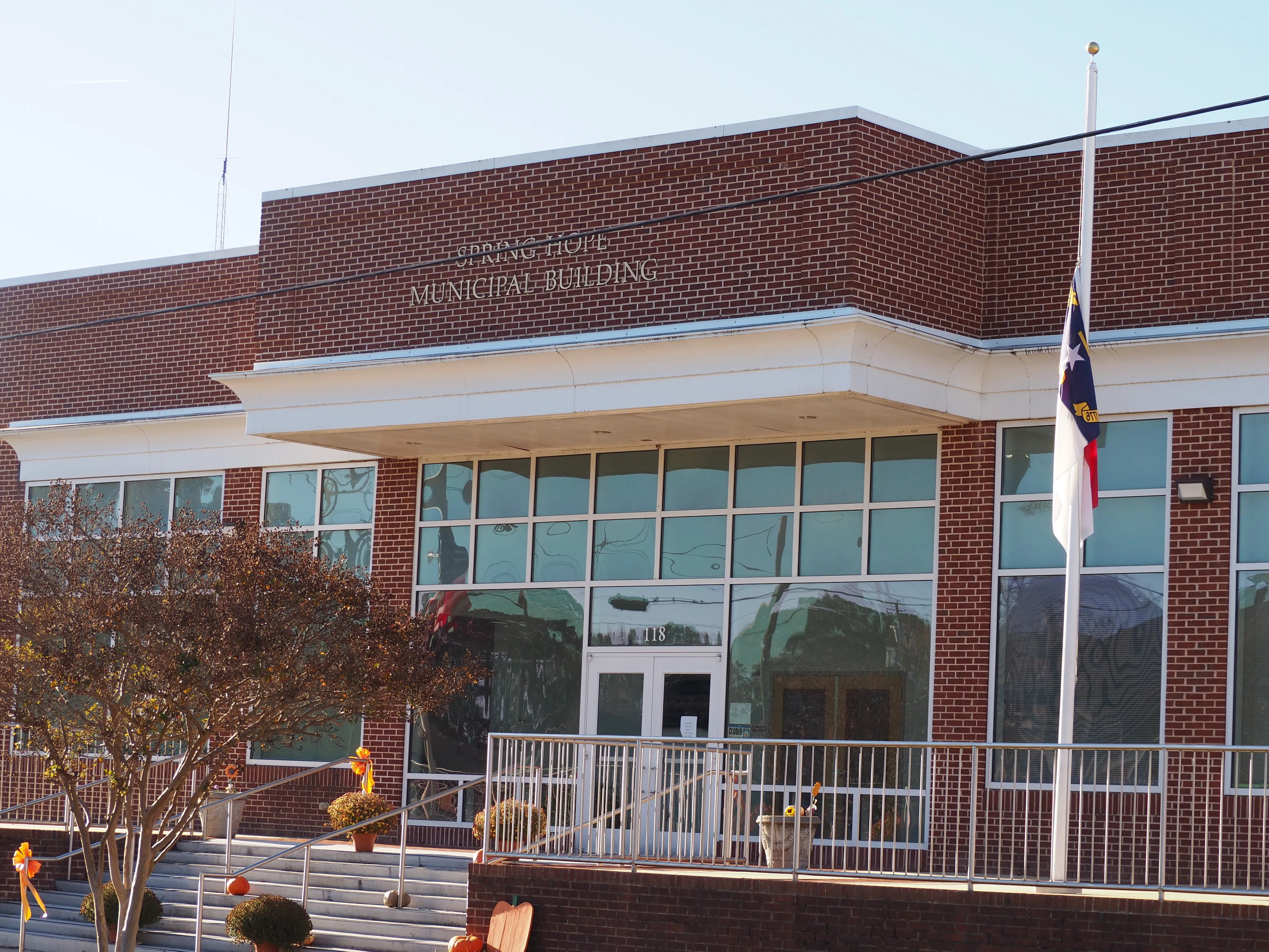
Spring Hope is a town in Nash County, North Carolina, United States. The population was 1,320 at the 2010 census.
It was a 32 minute drive to reach Spring Hope from my home in Franklin county. The weather was a bit chilly and the streets were nearly empty with the exception of folks walking their dogs.
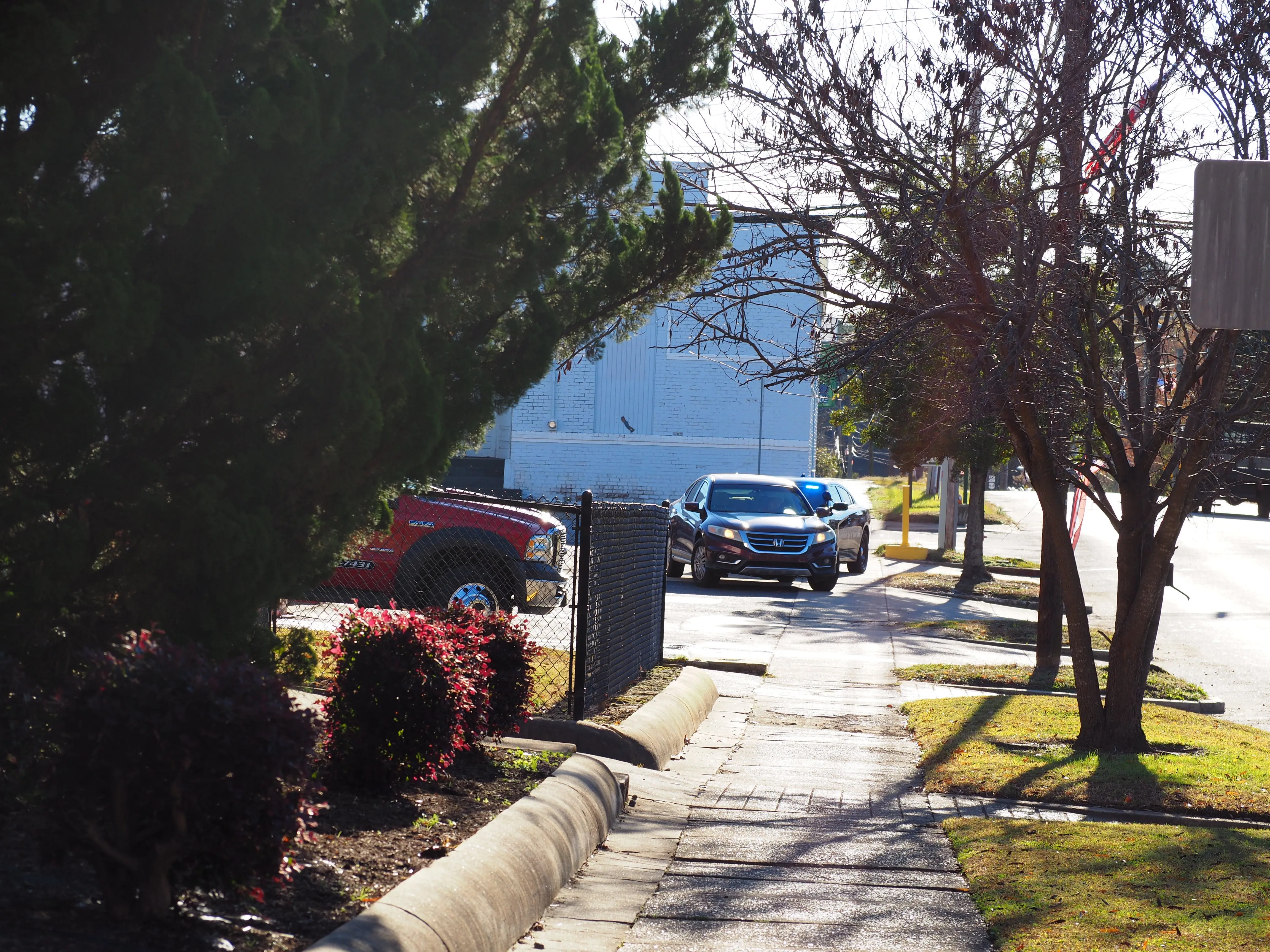
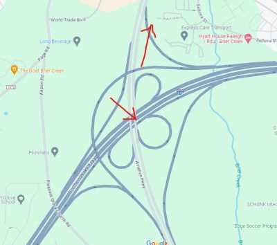
Yesterday I went to the Raleigh-Durham airport to pick up my mother after her trip to Portugal. I was doing fairly well, I thought, right up until I accidentally exited off of the highway exit to Aviation Parkway.
What followed was a confusing mess. I found myself once again in Brier Creek. I had the presence of mind this time around to find a turnaround right away, rather than going off into the sticks out of town.
I got back on the road that led to the airport, and there was this red sports car ahead of me that seemed to be in a hurry I incorrectly assumed they were also heading to the airport, so I followed them.
Once more I exited off of Aviation Parkway and now I was heading to Durham. Luckily, I noticed a turn-off that was marked Raleigh.
This spun me around quite a bit and I ended up in a section of orange cans and traffic cones as construction was underway all over the roadway.
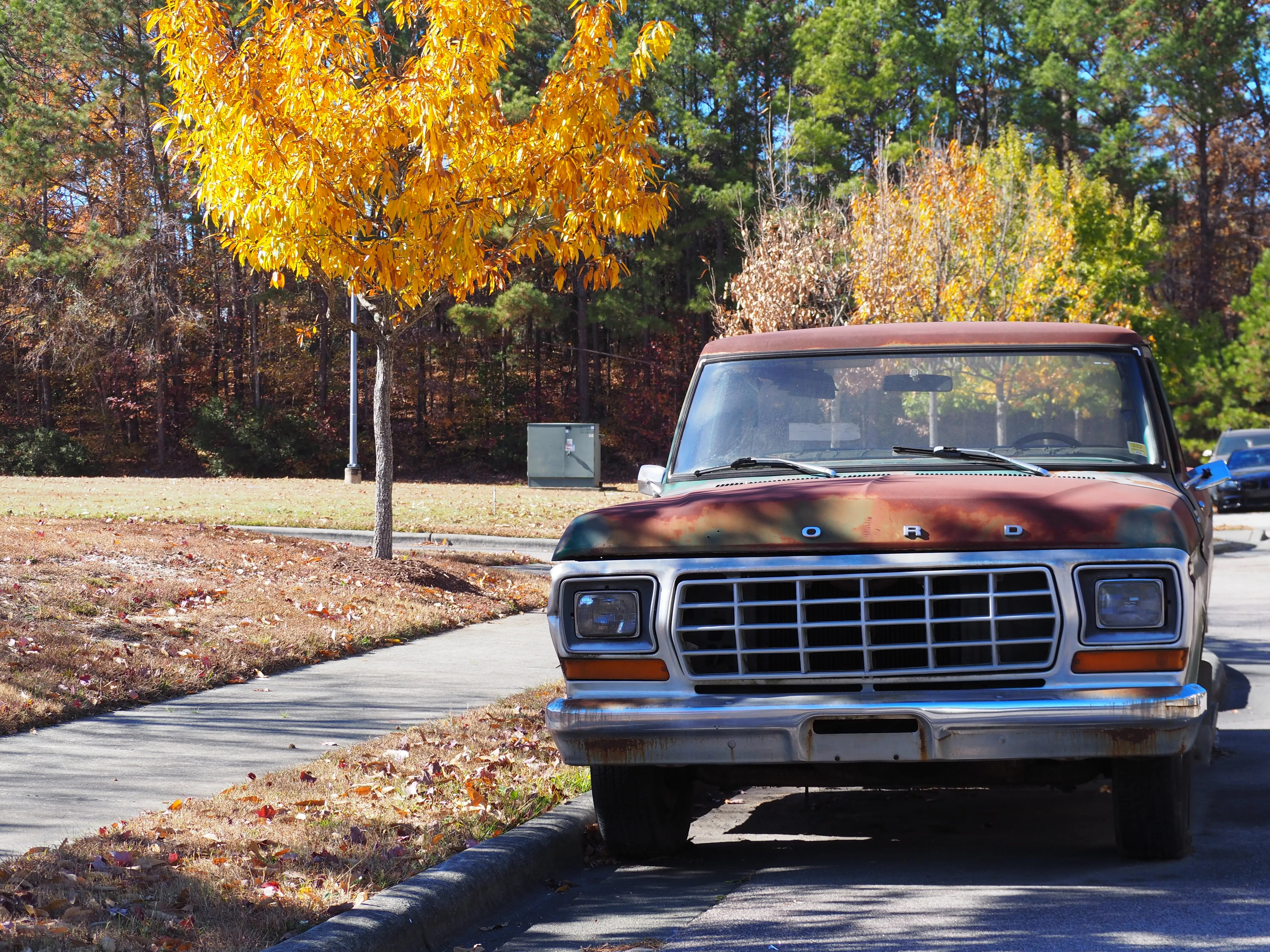
I slowly followed the road signs while this old car behind me kept revving its engine. I thought that they were maybe impatient, but as we rolled up to a stop light I heard their engine stall and stop.
The other car managed to start up again and the driver pulled off the roadway. It was a very old car.
Once the light went green I pulled away and left the old beater by the wayside. Following the cones I eventually found myself on a northbound route to Raleigh.
Some way down the road there was another exit to Aviation Parkway, which I happily took. This was sort of good but by this point, I had already overshot the airport by a great distance, and I was now traveling south.
At this point, I knew I needed some help. I pulled over to the side of the road and checked my map.
For today’s trip, I had the good sense to bring an old phone that had Google Maps on it. It doesn’t have a SIM card, but the GPS worked enough that it could pinpoint my position after a few minutes. It doesn’t work for real-time navigating but I could at least see where I was concerning the airport.
After I got my bearings, I found a street where I could do a U-turn and I got myself headed back north. I was close enough now to the airport that I could see the big black signage indicating the terminals.
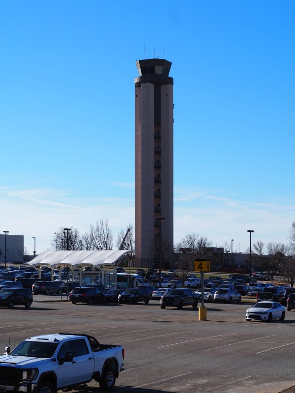
I had intended on using the Cell Phone Lot at RDU as a waiting area until my mother’s flight had landed. I got lost trying to follow the directions I had written down and I gave up and instead used the parking garage.
Most of the floors were listed as OPEN in green letters on the electronic board, but when I started climbing up the round tower thing, each entrance was blocked with signage saying it was full.
I did manage to find a spot on the 4th floor, quite far from the elevators.
Once I had parked, I took some time to breathe and congratulate myself for surviving the trip. The trip back was much easier as I had my knowledgeable mother with me in the car and she knows these streets very well.
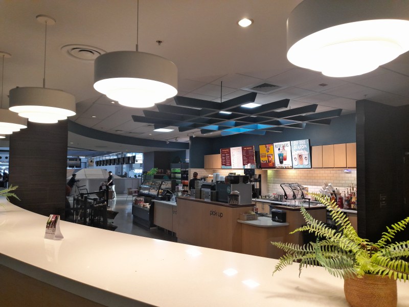
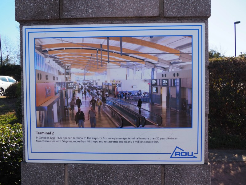
While I was at the airport I took some pictures of the planes and the facility.
Questions or comments, put them below. Thanks for reading!
Yesterday, I drove my mother to the airport for her vacation trip to Portugal. I drove her car there and back, a round trip of 70 miles on the fast expressway.
The journey there was relatively simple with my mother’s guidance. However, the return journey turned out to be a challenge.
Everyone was driving so fast (70 MPH), so I decided I would hang out in the rightmost lane and go a bit slower. Unfortunately, I realized too late that I was on a Right turn-only exit off of the highway much too early.
I ended up stuck in Briercreek, just outside of a subdivision, and lost inside a shopping area. It took me twenty minutes to finally figure out how to get back to the highway.
Not only had I never been to that part of the state, but I also had a clamshell-styled feature phone that could not use apps. I had no map to base my decisions on or a robotic voice to guide me to the highway entrance.
It was a game of eliminations. I managed to drive all the way outside of the shopping area and out into the suburbs where I turned around and backtracked my route.
I made several wrong turns until finally, I began to see intersections that looked vaguely familiar.
I’m not sure when it happened, but I realized that the exit from the expressway should also be close to the entrance back onto it.
Once I understood that I was able to make my way back to the exit but from the other side of the road. Sure enough, I could see the big blue sign marking the entrance to the 540 highway.
After I got back on I had no qualms with “going fast,” and I kept to the center lane the rest of the way home. It took me two hours to get home instead of one.
When I get my car, later this year, I will get one with onboard navigation. I swear this will never happen again.